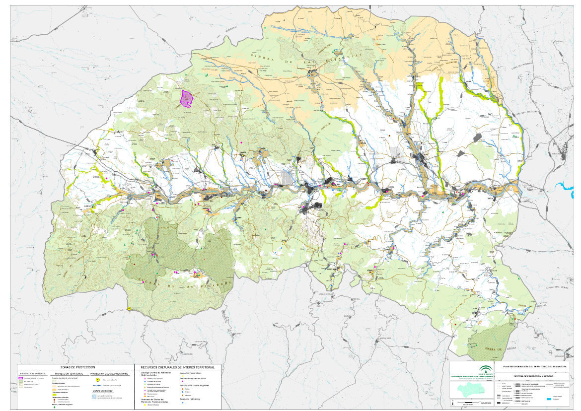
Drafting of the urban planning plan for the Almanzora area in Almería
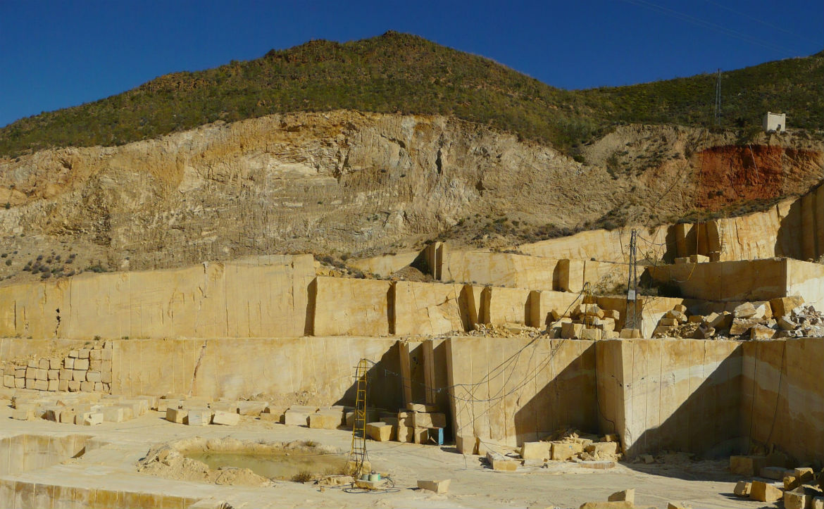
The urban planning plan for Almanzora, in the province of Almería, comprises 28 municipalities and covers an area of 1,768 km2. Macael is perhaps the best-known municipality in what is known as the Marble Region, a world reference for the mining of this raw material, and today an innovation hub in the stone sector.
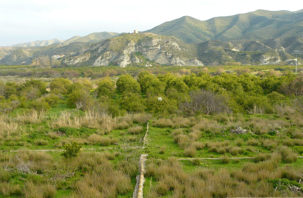
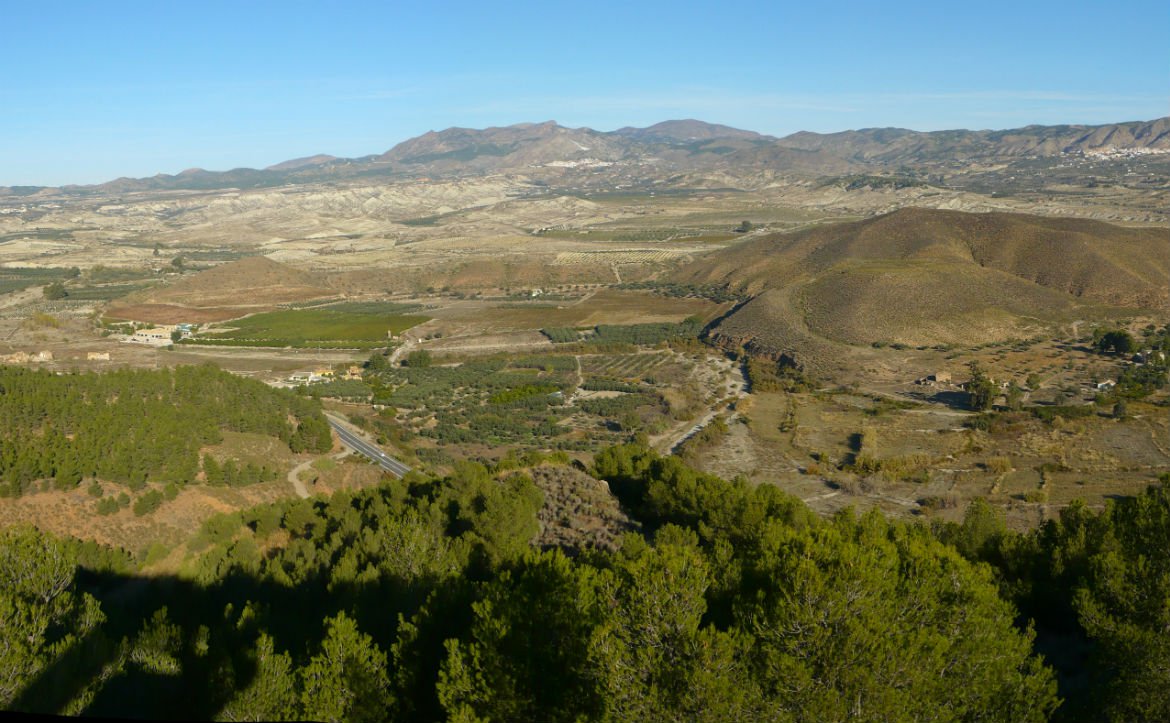
The territory is crossed from east to west by the Almanzora river, and includes the southern part of the Sierra de Filabres mountain range and the expanses of almond groves to the north. The river valley is of varying width and has been radically transformed by agriculture, which is now in decline. It contains its largest cities, the Vía Verde (a cycle track following a disused railway line) and interesting remnants of cultural heritage.
In this context, the document prepared by Prointec structures the network of urban clusters in the territory, the economic space and the various natural spaces and protected areas. The plan also responds to the need for mobility and amenities in a population that is hyper-concentrated in the valley and dispersed in the towns and villages on the hillsides, and seeks to position a model of tourism based on rural development and nature.